Browse Resources
Audio/Visual -- Movie/Animation
Resources | |
|---|---|
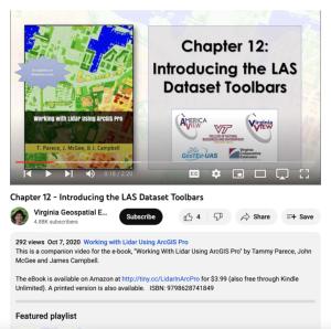
This video, provided by Virginia Geospatial Extension, is part of a series of 22 tutorial videos on working with Lidar using ArcGIS Pro. This tutorial "... explore[s] the context sensitive toolbars and associated tabs when selecting a layer in Contents." This video runs 02:20 minutes in length. The...
This webinar is part of a series of Mindful Mobility Tech Talks hosted by the Columbia-Willamette Clean Cities Coalition. In the webinar, Mark Quarto, Rich DeMary, and Chris Quarto introduce the Electrified Vehicle Systems Standards based Training for a level 2 certification, developed by the ...
This webinar is part of a series of Mindful Mobility Tech Talks hosted by the Columbia-Willamette Clean Cities Coalition. In the webinar, Mark Quarto, Rich DeMary, and Chris Quarto introduce the Electrified Vehicle Systems Standards based Training for a level 3 certification, developed by the ...
This webinar is part of a series of Mindful Mobility Tech Talks hosted by the Columbia-Willamette Clean Cities Coalition. In the webinar, John Frala, Tim Perzanowski, and Mark Quarto introduce the SAE Fuel Cell Systems Certification, developed by the Northwest Engineering and Vehicle Technology...
This webinar is part of a series of Mindful Mobility Tech Talks hosted by the Columbia-Willamette Clean Cities Coalition. In the webinar, Mark Quarto, Rich DeMary, and Chris Quarto introduce the Electrified Vehicle Systems Standards based Training for a level 1 certification, developed by the ...
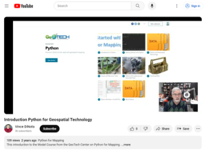
This video, provided by the GeoTech center, is from the first of nine online modules in the Python and Geospatial Mapping course. Designed for experienced users of Global Information Systems (GIS) platforms that are new to programming, this course aims to teach learners how to use Python to automate...
This lecture, published by Columbia Gorge Community College, provides an overview of 3 phase AC systems. The instructor discusses the advantages of 3 phase AC, examines the generation process, looks at both Y and delta configurations, and shows how to calculate line to neutral and line to line...
This lecture, published by Columbia Gorge Community College, provides an overview of 3 phase AC systems. The instructor discusses the advantages of 3 phase AC, examines the generation process, looks at both Y and delta configurations, and shows how to calculate line to neutral and line to line...
This lecture, published by Columbia Gorge Community College, provides an overview of "simple AC sources and introductory AC circuit analysis techniques." Topics covered include Ohm's Law, power equations, average power calculations, effective voltage calculations, AC waveforms, and more. The...
This lecture, published by Columbia Gorge Community College, provides an overview of "simple AC sources and introductory AC circuit analysis techniques." Topics covered include Ohm's Law, power equations, average power calculations, effective voltage calculations, AC waveforms, and more. The...
| |
| ← Previous | Next → |
