Browse Resources
Audio/Visual -- Movie/Animation
Resources | |
|---|---|
This video, published by Sinclair Community College, is part of the video series Complex Concepts, Simply Put. This series explores programming concepts to augment the training of prospective IT technicians.
In the video, viewers learn about relational operators in C++. An introduction to...
This video, from the Integrated Geospatial Education and Technology Training Project (iGETT), presents information about the iGETT-RS program, which is intended to develop a pipeline for community colleges to produce remote sensing technicians needed in the geospatial workforce. The 18-month program...
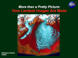
This lesson, created by Jeannie Allen and offered by the Integrated Geospatial Education and Technology Training Project (iGETT), introduces students to concepts in remote sensing and the creation of Landsat imagery. A 57-slide PowerPoint presentation covers topics related to Landsat imagery,...
This video, provided by Columbia Gorge Community College, is the first part of a two part lecture that covers "install[ing] a speed potentiometer and program[ming] the Omron 3G3JX-AE004 motor drive to recognize this external analog voltage input." Monitoring and programming default rotational...
This video, provided by Columbia Gorge Community College, is the second part of a two part lecture that covers "install[ing] a speed potentiometer and program[ming] the Omron 3G3JX-AE004 motor drive to recognize this external analog voltage input." Monitoring and programming default rotational...
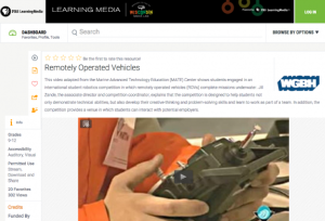
In this video adapted from the Marine Advanced Technology Education (MATE) Center, students will learn about a robotics competition which uses remotely operated vehicles (ROVs) underwater. The material is intended for students in grades 6-12. Running time for the video is 3:32. It is accompanied by...
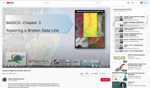
This video, provided by Virginia Geospatial Extension, is part of a series of 28 tutorial videos on remote sensing with ArcGIS Pro. This tutorial "uses ArcGIS Pro version 2.2 to illustrate how to fix a broken data link." This video runs 03:49 minutes in length. The other videos in the series are...
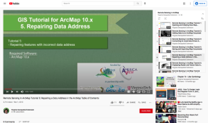
This tutorial, provided by Virginia Geospatial Extension, is part of a series of 30 videos that cover remotely sensed data in ArcMap 10.x versions. This video demonstrates repairing features with an incorrect data address. This video runs 00:45 seconds in length. The other videos in the series are...
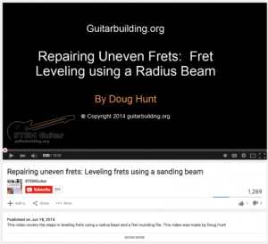
This video, from the LEAD with Guitars in STEM project, demonstrates the process of leveling uneven guitar frets using a radius beam covered with sandpaper. The host, Doug Hunt, explains how to prepare the frets and fret board using masking tape and a permanent marker before demonstrating the...
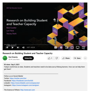
This video, from the 2021 Esri Education Summit, provides three presentations that explore research on building student and teacher capacity. In the first presentation, Bob Coulter highlights the GeoData Talks, which aim to build data literacy. Examples of data literacy are provided. In the second...
| |
| ← Previous | Next → |
