Browse Resources
Audio/Visual -- Movie/Animation
Resources | |
|---|---|
This video, published by Sinclair Community College, is part of the video series Complex Concepts, Simply Put. This series explores programming concepts to augment the training of prospective IT technicians.
In this video, viewers learn about doing basic math in C++. The video begins with a math...
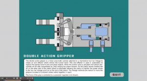
This resource, provided by Maricopa Advanced Technology Education Center (MATEC), is a cut-away animation of a pneumatic double action gripper. The objective of the animation is to describe how the double action gripper works. A short description is included. An .mp4 is also available and runs 01:15...
This video, provided by Virginia Geospatial Extension, is part of a series of 28 tutorial videos on remote sensing with ArcGIS Pro. This tutorial "provide[s] step by step instructions for downloading Landsat 8 imagery via USGS's EarthExplorer website." This video runs 10:45 minutes in length. The...
This tutorial, provided by Virginia Geospatial Extension, is part of a series of 30 videos that cover remotely sensed data in ArcMap 10.x versions. This video demonstrates viewing and downloading Landsat imagery using Earth Explorer. The video runs 01:55 minutes in length. The other videos in the...
This tutorial, provided by Virginia Geospatial Extension, is part of a series of 30 videos that cover remotely sensed data in ArcMap 10.x versions. Tutorial seven is divided into four videos: A, B, C, and D. This video demonstrates using the GLOVIS viewer. This video runs 02:32 minutes in length....
This video, provided by Virginia Geospatial Extension, is part of a series of 16 tutorial videos on using Lidar with ArcGIS Desktop. This tutorial demonstrates how to download Lidar datasets from the United States Geological Survey (USGS) using Earth Explorer. This video runs 03:58 minutes in...
In this video by the Information and Communication Technologies (ICT) Center, Dr. Moira Gunn, Host of NPR's Tech Nation, gives the keynote talk for the 2011 Hi-Tec conference. After an introduction from Ann Beheler, Hi-Tec Executive Committee Chair, and others from the Hi-Tec community, Dr. Moira...
This video segment, adapted from ATETV, explores Engineering Technology by providing an overview of what skills students will need to learn in order to succeed after graduation. This specific video takes a look at an adult non-traditional student returning to school, and how the community college...
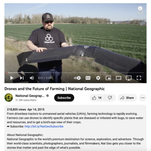
This video, from National Geographic, discusses the use of unmanned aerial vehicles in farming. "Farmers can use drones to identify specific plants that are diseased or infested with bugs, to save water and resources, and to get a bird's-eye view of their crops." This video runs 02:59 minutes in...
Collection Description:
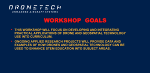
This collection includes materials from the DroneTech Educator Workshop: Drones and Geospatial Applications that was held by the National Center for Autonomous Technologies (NCAT). "This workshop ... focus[ed] on developing and integrating practical applications of Drone...
| |
| ← Previous | Next → |
