Browse Resources
Resources | |
|---|---|
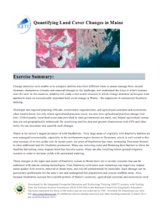
This exercise, created by the Integrated Geospatial Education and Technology Training Project (iGETT), uses real-world Landsat data on vegetation from northeastern Maine to assess changes in ground cover over four years as it relates to blueberry cultivation and its impact on the local environment....
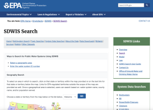
This U.S. EPA site allows users to locate any United States public water supply and determine whether that water source has had any recent violations of regulatory standards. Users can search via a map or by entering the water system ID number. Links to additional sites for information regarding...
Learning Unit Description:
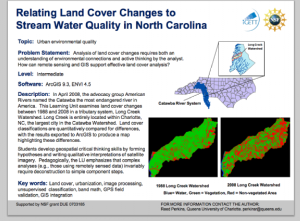
The Integrated Geospatial Education and Technology Training Project (iGETT) presents a series of Learning Units (LU) designed to incorporate federal land remote sensing data into Geographic Information System (GIS) instruction. The Land Cover Classification and Urban...
Learning Unit Description:
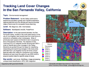
The Integrated Geospatial Education and Technology Training Project (iGETT) presents a series of Learning Units (LU) designed to incorporate federal land remote sensing data into Geographic Information System (GIS) instruction. The Tracking Land Cover Changes in the San...
Tutorial Description:
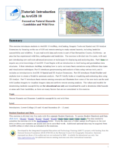
This exercise, created by the Integrated Geospatial Education and Technology Training Project (iGETT), serves as a tutorial for introductory Geographic Information Systems (GIS), using real-world environmental data on natural hazards from San Bernardino County, California,...
This website, published by the Department of Economic and Social Affairs at the United Nations, offers various resources related to sustainable development across teh globe. Topics covered range in subject matter; they include resources related to atmospheric pollution, food security and water and...
Learning Unit Description:
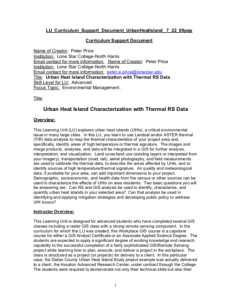
Integrated Geospatial Education and Technology Training (iGETT) presents a series of Learning Units (LU) designed to incorporate federal land remote sensing data into Geographic Information Systems (GIS) instruction. This LU "... explores urban heat islands (UHIs), a...
Exercise Description:
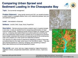
This exercise, created by the Integrated Geospatial Education and Technology Training Project (iGETT) asks students to develop a model to examine the relationship between land use and sediment loading. Data from the Chesapeake Bay region will be utilized. Remote sensing...
Learning Unit Description:
Integrated Geospatial Education and Technology Training (iGETT) presents a series of Learning Units (LU) designed to incorporate federal land remote sensing data into Geographic Information Systems (GIS) instruction. This LU focuses on what likely caused the crisis in...
Learning Unit Description:
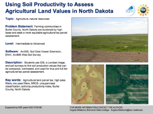
The Integrated Geospatial Education and Technology Training Project (iGETT) presents a series of Learning Units (LU) designed to incorporate federal land remote sensing data into Geographic Information System (GIS) instruction. The Using Soil Productivity to Assess...
| |
| ← Previous | |
