Browse Resources
Instructional Material -- Student Guide
Resources | |
|---|---|
Learning Unit Description:
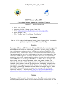
Integrated Geospatial Education and Technology Training (iGETT) presents a series of Learning Units (LU) designed to incorporate federal land remote sensing data into Geographic Information Systems (GIS) instruction. This LU covers the use of GIS to detect land change...
Module Description:
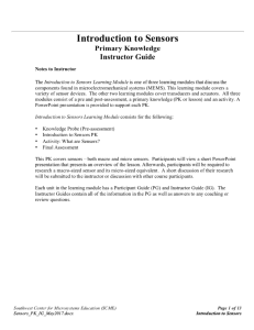
This module, from Support Center for Microsystems Education (SCME), serves as an introduction to sensors, one component found in microelectromechanical systems (MEMS). This module is related to two other modules that cover components in MEMS, transducers and actuators. These...
Module Description:
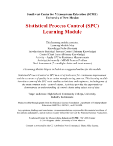
This learning module, from Support Center for Microsystems Education (SCME), serves as an introduction to statistical process control (SPC). "SPC is a set of tools used for continuous improvement and the assurance of quality in an active manufacturing process. This learning...
Module Description:
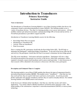
This module, from Support Center for Microsystems Education (SCME), provides an introduction to transducers including "what they are, how they work and how they are used in both macro and micro-size systems." This module is divided into the following four units: Pre-test...
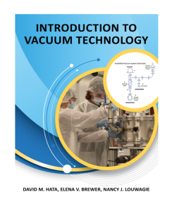
This resource includes a 199-page student laboratory manual and 244-page instructor guide. The lab manual provides assignments and labs corresponding to concepts found in the Introduction to Vacuum Technology E-book. Each activity unit includes a summary of learning activities, a pre-lab assignment,...
Learning Unit Description:
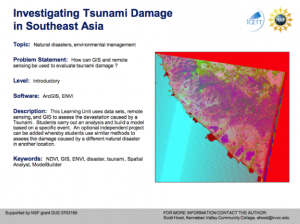
The Integrated Geospatial Education and Technology Training Project (iGETT) presents a series of Learning Units (LU) designed to incorporate federal land remote sensing data into Geographic Information System (GIS) instruction. The Investigating Tsunami Damage in...
In this lesson from The Lane Community College MAPS GIS program, students will find cities in the United States that are of similar size to Eugene, OR and compare attributes such as crime rate, land area, etc. using box and whisker plots. Prior to the lesson, the instructor will use a computer and...
This lab, presented by the National Nanotechnology Infrastructure Network, introduces students to the difficulty to of measuring at the nanoscale. Accuracy and precision are the most important principles or measuring at such a small scale, and with the growing demand for nanotechnology careers, an...
This collection from the Center for Renewable Energy Advanced Technological Education Resource Center (CREATE) is composed of teaching materials that highlight a lesson on energy savings for homeowners. The collection is composed of seven documents.
The documents include an instructors guide, a...
In this lesson from MAPS GIS at Lane Community College, students will examine the decision to place all Japanese-Americans living on the West Coast into internment camps during WWII. This lesson is part of a mini-unit on Japanese Internment that will include readings in primary source documents and...
| |
| ← Previous | Next → |
