Browse Resources
Higher Education -- Technical Education (Lower Division)
Resources | |
|---|---|
This video, published by Columbia Gorge Community College, is the second part of a two part lecture that covers the calculation of circular surface area and cylindrical volume, the use of these calculations in hydraulic systems, and common volume unit conversions in the hydraulics industry. This...
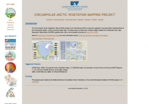
This map, provided by the Alaska Geobotany Center, displays the vegetation and associated characteristics of the polar region. Information on bioclimatic zones, bedrock, surficial geology, acidity of parent material, soils, hydrology, and remotely-sensed vegetation classification is included in...
This 6-page syllabus provides an overview of the Introduction to GIS course taught at Jefferson Community and Technical College. This course covers basic theories and concepts of of GIS and introduces GIS software. The syllabus includes a course description, student learning outcomes, course...
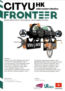
This 25-page report, provided by City University of Hong Kong, describes the design and construction of the underwater remotely operated vehicle (ROV) created by the CityU Underwater Robotics team for the Explorer Class of the 2023 MATE ROV competition. MATE ROV is a global competition that...
This webinar, provided by EvaluATE: Evaluation Resource Center for Advanced Technological Education, discusses a five-step claims process for ATE evaluators and PIs. This five-step process includes identifying claims worthy of evaluative investigation; defining how to measure impact in meaningful,...
This PowerPoint presentation, made available by Clark State Community College, provides an overview of precision agriculture as well as programs and grants at Clark State Community College in the precision agriculture field. Topics covered include: Managing Assets by the in^2, Managing "Uniqueness",...
This interactive presentation, created by James Bourassa and John Rosz, explains how the input of force reacts with lever systems. The authors address the physics behind levers, and how when proper angles are used in design the effective force increases greatly. The format of the lesson is similar...
This video, provided by Virginia Geospatial Extension, is part of a series of 28 tutorial videos on remote sensing with ArcGIS Pro. This tutorial "... uses ArcGIS Pro version 2.3.3 to complete an unsupervised classification on a Landsat 8 image; determine the land use / land cover category...
This video, provided by Virginia Geospatial Extension, is part of a series of 22 tutorial videos on working with Lidar using ArcGIS Pro. This tutorial demonstrates the following four geoprocessing tools: classify ground, classify by height, reassign classification, and feature proximity:2D...
This video, provided by Virginia Geospatial Extension, is part of a series of 16 tutorial videos on using Lidar with ArcGIS Desktop. This tutorial demonstrates how to classify unassigned points in a point cloud. This video runs 10:23 minutes in length. The other videos in the series are available to...
| |
| ← Previous | Next → |

