Browse Resources
Higher Education -- Undergraduate (Lower Division)
Resources | |
|---|---|
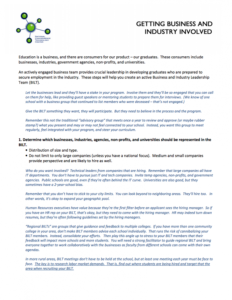
This 5-page resource, from the National Convergence Technology Center (CTC), discusses the importance of creating a Business and Industry Leadership Team (BILT) to provide leadership in developing graduates who are prepared to secure employment in industry. This resource lists eight steps involved...
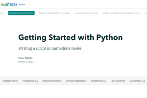
This resource, provided by the GeoTech Center, is the second of nine online modules in the Python and Geospatial Mapping course. The course is designed for experienced users of Global Information Systems (GIS) platforms who are new to programming, with the goal of teaching them how to use Python to...
This collection, provided by EvaluATE: Evaluation Resource Center for Advanced Technological Education, includes resources from the Getting Started workshop held at the 2017 Advanced Technological Education (ATE) Principal Investigator (PI) Conference. The Getting Started with Your ATE Evaluation...
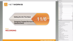
This webinar, made available by Maricopa Advanced Technology Education Center (MATEC), discusses how instructors can maximize the usefulness of student survey data by designing quality student surveys. The webinar was presented by Dr. Catherine Nameth, Education Coordinator at UCLA. Topics covered...
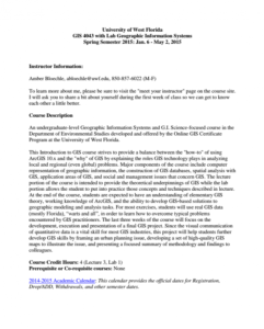
This 12-page syllabus provides an overview of the Introduction to GIS with Lab course taught at the University of West Florida. "This Introduction to GIS course strives to provide a balance between the "how-to" of using ArcGIS 10.x and the "why" of GIS by explaining the roles GIS technology plays in...
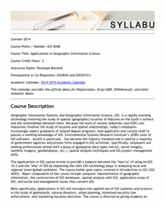
This 14-page syllabus provides an overview of the Applications in Geographic Information Science course taught at the University of West Florida. This course covers how to use ArcGIS and explains the roles GIS technology plays in analyzing local, regional, and global problems. This course builds on...
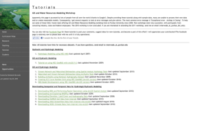
This site, created by Venkatesh Merwade of Purdue University, offers tutorials relating to GIS and water resources modeling. Topic areas covered are hydraulic and hydrologic modeling, GIS and hydrologic modeling and downloading geospatial and temporal data for hydrologic/hydraulic modeling. All...
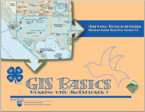
This introductory manual, GIS Basics: Working with ArcExplorer 9, was created by the Penn State University Cooperative Extension Geospatial Technology Program and is meant to supplement the education of 4-H students interested in GIS technologies. This manual covers the fundamentals of GIS,...
GISCafe is a media-rich website on all things geospatial. It includes the most recent news in the field, a weekly magazine, a blog, and information on the latest technologies, products and resources.
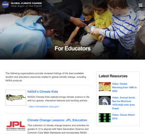
This page, from NASA's Jet Propulsion Laboratory, offers links to organizations providing student and educator resources on global climate change. Organizations featured include the National Oceanic and Atmospheric Administration (NOAA), the Earth System Science Education Alliance (ESSEA), the...
| |
| ← Previous | Next → |
