Browse Resources
Instructional Material -- Instructor Guide/Manual
Resources | |
|---|---|
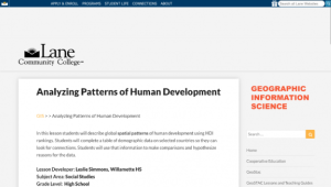
In this lesson from the MAPS GIS program at Lane Community College, students will describe global spatial patterns of human development using HDI rankings. Students will complete a table of demographic data on selected countries so they can look for connections. Students will use that information to...
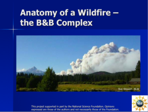
Module Description: The Fire Ecology and Management Series is provided by the Northwest Center for Sustainable Resources and includes six modules. This series “is designed to address both the general role of fire in ecosystems as well as specific wildfire management issues in forest ecosystems.” The...
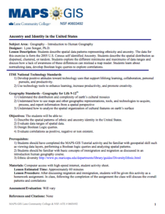
In this activity, presented by the Lane Community College's MAPS GIS Program, students "are led through a series of steps to describe spatial patterns of various data layers representing ancestry." Students will examine data from the 2005 US Census to determine whether the spatial distribution is...
This module provides students the opportunity to "explore silver nanoparticles and their effectiveness against bacterial growth in hands-on laboratory activities." Students first make silver nanoparticles and then use them in an experiment they design. This lesson will require two or more class...
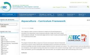
This material provides a curriculum framework created by the Florida Department of Education for an Aquaculture career preparatory pathway in high school and/or college adult vocational certificate. The framework aligns with the Career Clusters delineated by the U.S. Department of Education. This...
Learning Unit Description:
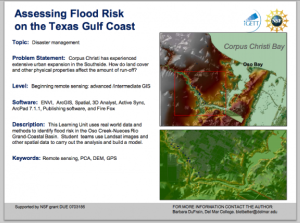
The Integrated Geospatial Education and Technology Training Project (iGETT) presents a series of Learning Units (LU) designed to incorporate federal land remote sensing data into Geographic Information System (GIS) instruction. The Flood Risk Assessment LU, by Barbara...
Learning Unit Description:
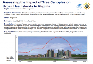
The Integrated Geospatial Education and Technology Training Project (iGETT) presents a series of Learning Units (LU) designed to incorporate federal land remote sensing data into Geographic Information System (GIS) instruction. The Assessing the Impact of Tree Canopies...
This 54-page resource, made available by Monroe Community College (MCC), is an instructor's guide for an AWS (American Welding Society) SENSE Entry Level 115 QC-10 welder's certification course. Topics covered include: Grading Methodology, Partial Completion, Time Sheet/Attendance, AWS Performance...
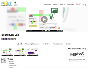
The PhET project at the University of Colorado creates "fun, interactive, research-based simulations of physical phenomena." This particular simulation deals with Beer's Law: "The thicker the glass, the darker the brew, the less the light that passes through." Make colorful concentrated and dilute...
DeafTEC provides this resource with strategies and ideas for improving the classroom environment in a mainstreamed classroom with a mix of hearing, deaf, and hard-of-hearing students. Eight topics are included such as First Day of Class, Lighting, Competing Sound, Seating, and Line of Sight. Each...
| |
| ← Previous | Next → |
