Browse Resources
Instructional Material -- Lesson/Lesson Plan
Resources | |
|---|---|
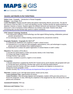
In this activity, presented by the Lane Community College's MAPS GIS Program, students "are led through a series of steps to describe spatial patterns of various data layers representing ancestry." Students will examine data from the 2005 US Census to determine whether the spatial distribution is...
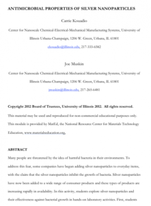
This module provides students the opportunity to "explore silver nanoparticles and their effectiveness against bacterial growth in hands-on laboratory activities." Students first make silver nanoparticles and then use them in an experiment they design. This lesson will require two or more class...
In this activity, developed by the Lane Community College MAPS GIS Program, students are asked to investigate the distribution of Chinook salmon in the Columbia River basin using GIS technology and web-based maps. The objectives of the lesson are for students to be able to "use GIS to investigate...
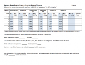
This lesson, developed by Cindy Nestel of Summit Middle School, is designed to be a follow-up lesson to "Which Rare Earth Element Will Be Named 'The Element of the Year?'" The lesson serves as an integrated science and math activity, in which students analyze data about rare earth elements and read...
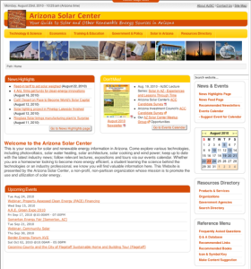
Presented by the Arizona Solar Center, a non-profit organization that promotes the use of solar energy, this webiste provides information about solar technologies, including photovoltaics, solar cooking, solar water heating, solar architecture, wind power. It also provides hands-on activities for...
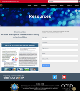
This scenario-based instructional activity card, from the ATE 2.0: Preparing Technicians for the Future of Work project, was created to support the implementation of the Cross-Disciplinary STEM CORE Framework. This framework has the following three skill areas: Data Knowledge and Analysis, Advanced...
Learning Unit Description:
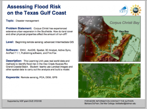
The Integrated Geospatial Education and Technology Training Project (iGETT) presents a series of Learning Units (LU) designed to incorporate federal land remote sensing data into Geographic Information System (GIS) instruction. The Flood Risk Assessment LU, by Barbara...
Learning Unit Description:
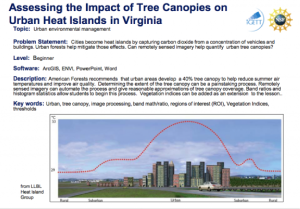
The Integrated Geospatial Education and Technology Training Project (iGETT) presents a series of Learning Units (LU) designed to incorporate federal land remote sensing data into Geographic Information System (GIS) instruction. The Assessing the Impact of Tree Canopies...
This resource, published by Georgia Tech Research Institute, features a mathematics activity designed for sixth graders. In this activity, students examine candy manufacturing processes to determine the most consistent process, building both math and decision making skills. Students will use "...
This scenario-based instructional activity card, from the ATE 2.0: Preparing Technicians for the Future of Work project, was created to support the implementation of the Cross-Disciplinary STEM CORE Framework. This framework has the following three skill areas: Data Knowledge and Analysis, Advanced...
| |
| ← Previous | Next → |
