Mobile GIS Project

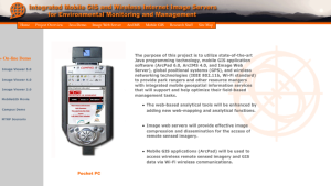
This resource provides insight into cutting edge technology in the field of geographic information systems. The stated purpose of this research is "to provide park rangers and other resource mangers with integrated mobile geospatial information services that will support and help optimize their field-based management tasks." Some of technology employed includes ArcPad 6.0, ArcIMS 4.0, Image Web Server, global positioning systems (GPS) and wireless networking technologies. The page provides a project overview along with detailed information on each one of the before mentioned pieces of technology. This is a solid resource for an interactive look at these mobile geographic positioning systems. Users will find it simple enough to understand, yet complex enough to be quite engaging.
Comments