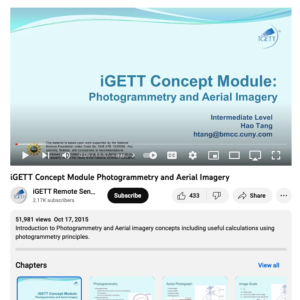
Photogrammetry and Aerial Imagery

This video, created by Integrated Geospatial Education and Technology Training Project (iGETT), provides an introduction to photogrammetry and aerial imagery concepts. Useful calculations using photogrammetry principles are also discussed. An outline of topics is provided and includes the following sections: Introduction to Photogrammetry, Types of Aerial Photograph, Aerial Photograph and Basic Concept, Image Scale, Photogrammetry Measurement, Stereoscopy and 3D Measurement, Applications of Aerial Photograph, Data Recourses, and Content Questions and Answers. The video runs 11:57 minutes in length.
About this Resource
Date Issued
October 17th, 2015
Resource Type
Audience
Education Level
Language
Subject
GEM Subject
Subject
Relation
Series
Associated Files
Archived
Rights
Access Rights

Comments