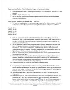
Supervised Classification of Drone Multispectral Images and Landcover Analysis

In this activity provided by the Unmanned Aircraft System operations Technician Education Program (UASTEP), students will learn to analyze multispectral images collected from a drone or unmanned aircraft system. Specifically, students will use the ArcGIS Pro software package to visualize, classify, and calculate the areas covered by different types of land cover. In addition, students will compare the results generated by different supervised classification techniques.
About this Resource
Resource Type
Format
Audience
Education Level
Language

Subject
GEM Subject
Relation
Associated Files
Archived
Rights
Access Rights
STEMLink
Available in STEMLink

Comments