Browse Resources
Geography -- Geographic information systems (GIS)
Resources | |
|---|---|
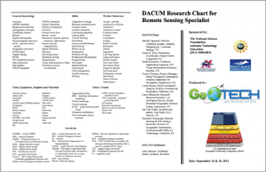
This DACUM, a curriculum development resource based on occupational analysis, is targeted specifically for Remote Sensing Specialists and was developed at a panel presentation in Denver, Colorado. General knowledge, skills, worker behaviors, tools, future trends, and acronyms are listed on this...
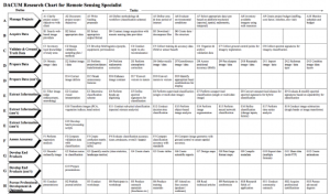
This DACUM, a curriculum development resource based on occupational analysis, is targeted specifically for Remote Sensing Specialists and was developed at a panel presentation in California in August 2009. On the first page, all of the duties with their corresponding tasks are listed, with entry...
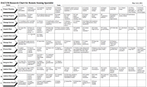
This DACUM, a curriculum development resource based on occupational analysis, is targeted specifically for Remote Sensing Specialists and was developed at a panel presentation in Wisconsin in May 2011. On the first page, all of the duties with their corresponding tasks are listed, with entry level...
Description:
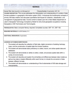
This Data Acquisition and Management course, from the National Information, Security & Geospatial Technologies Consortium, is part of a series of model courses on GIS, spatial technologies, and related subjects to provide students with the professional skills necessary to succeed in...
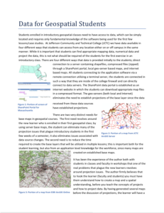
Students enrolled in introductory geospatial classes need to have access to data, which can be simply located and requires only fundamental knowledge of the software being used for the first few lessons/case studies. Jefferson Community and Technical College (JCTC) has data available in four...
Learning Unit Description:
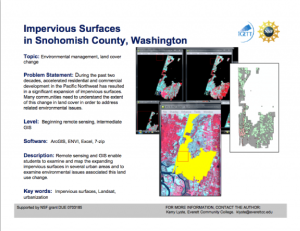
The Integrated Geospatial Education and Technology Training Project (iGETT) presents a series of Learning Units (LU) designed to incorporate federal land remote sensing data into Geographic Information System (GIS) instruction. The Determining Ecoroof Locations to Improve...
This white paper is intended to help guide users through the process of creating and improving a two year college geospatial technology program. The paper includes a step by step logic model flowchart and recommendations. Written by former ESRI Higher Education manager Ann Johnson for the GeoTech...
This YouTube channel from Directions Media includes educational videos related to geospatial technology. Directions Media is the leading source of information, news and commentary in the fields of geospatial and location-based technologies. They keep readers informed with news and technology issues...
In this activity, developed by the Lane Community College MAPS GIS Program, students "use logical connectors in searching a database to understand how quickly the search narrows by adding connectors. They will translate a search in to logic notation and sketch a digital circuit. Finally, they will...
This website from the Minnesota department of natural resources provides information on the Garmin DNR application. The purpose of the application, its functionality and screenshots are included. The site also includes links which may be used to download the program.
| |
| ← Previous | Next → |
