Browse Resources
Geography -- Global positioning systems (GPS)
Resources | |
|---|---|
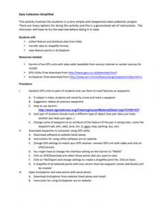
This 2-page activity is provided by AgrowKnowledge and involves collecting geospatial data. During the activity students will collect feature and attribute data from the field, transfer data to shapefile format, and view feature points in ArcExplorer. Users will need a Garmin eTrex GPS unit with...
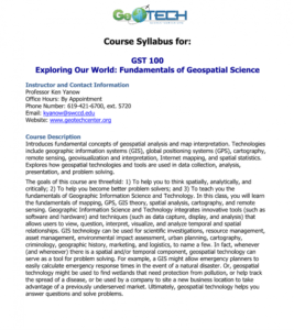
GeoTech Center presents a series of model courses on GIS, spatial technologies, and related subjects. This first course introduces "geospatial analysis and map interpretation," including "geographic information systems (GIS), global positioning systems (GPS), cartography, remote sensing,...
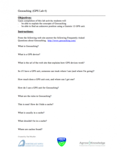
This 2-page activity is provided by AgroKnowledge and covers concepts of the game geocaching. "Upon completion of this activity students will be able to explain the concepts of geocaching and be able to find an unknown position using a Garmin 12 GPS unit." This activity includes Objectives and...
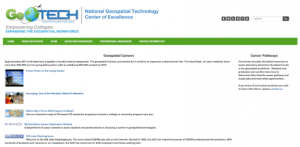
The GeoTech Center curated this list of geospatial career resources for the benefit of both students and instructors in this subject area. This page may be useful for both students and graduates who seek to "determine their favorite career pathway and locate jobs and internship opportunities." The...
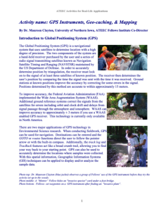
This 4-page resource, published by the Advanced Technology Environmental and Energy Center (ATEEC), provides an introduction to global position systems (GPS) and geographic information systems (GIS) and their usage in fieldwork. Included are two in-class activities: one pertaining to Geo-caching,...
GeoTech Center presents a series of model courses on GIS, spatial technologies, and related subjects. This internship course is a "structured experience in a supervised setting that is related to the student's major and career interests." This course "provides students with an overview of...
GeoTech Center presents a series of model courses on GIS, spatial technologies, and related subjects. This seventh course introduces "how to customize GIS software applications by way of modified service interface elements" by learning various scripting languages. All users can access the detailed...
This page contains information about Nature of Geographic Information, by David DiBiase. The textbook includes sections on data and information, scales and transformations, census data and thematic maps, TIGER, topology and geocoding, land surveying and GPS, national spatial data, remote sensing and...
GeoTech Center presents this course on Open Source software for desktop and online GIS applications. The course introduces "the concepts of Open Source software, and the leading desktop and web mapping Open Source software packages." A syllabus includes recommended textbooks, a schedule, and student...
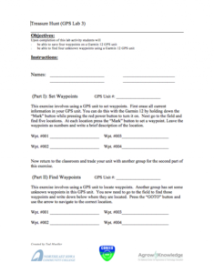
This 1-page activity provided by AgrowKnowledge is a GPS treasure hunt. During the activity students find and save waypoints on a Garmin 12 GPS unit. Upon completion of this activity students will be able to save four waypoints and find four unknown waypoints using a Garmin 12 GPS unit. This...
| |
| Next → | |
