Browse Resources
Resources | |
|---|---|
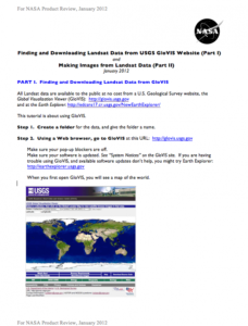
This two-part exercise, created by Jeannie Allen and offered by the Integrated Geospatial Education and Technology Training Project (iGETT), introduces students to the process of locating and downloaded Landsat data from the United States Geological Survey (USGS) GloVIS website (part one), and how...
Learning Unit Description:
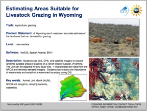
The Integrated Geospatial Education and Technology Training Project (iGETT) presents a series of Learning Units (LU) designed to incorporate federal land remote sensing data into Geographic Information System (GIS) instruction. The Estimating Areas Suitable for...
Learning Unit Description:
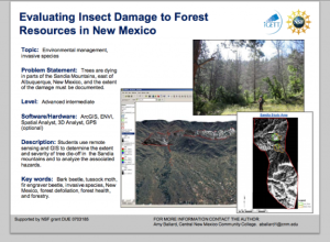
The Integrated Geospatial Education and Technology Training Project (iGETT) presents a series of Learning Units (LU) designed to incorporate federal land remote sensing data into Geographic Information System (GIS) instruction. The Evaluating Insect Damage to Forest...
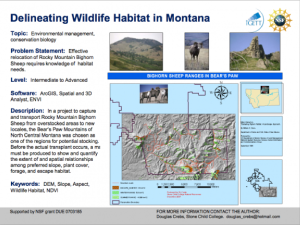
The Integrated Geospatial Education and Technology Training Project (iGETT) presents a series of Learning Units (LU) designed to incorporate federal land remote sensing data into Geographic Information Systems (GIS) instruction. The Evaluating Wildlife Habitat LU, created by Douglas Crebs of Stone...
Learning Unit Description:
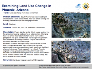
The Integrated Geospatial Education and Technology Training Project (iGETT) presents a series of Learning Units (LU) designed to incorporate federal land remote sensing data into Geographic Information System (GIS) instruction. The Examining Land Use Change in Phoenix,...
Learning Unit Description:
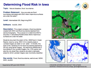
The Integrated Geospatial Education and Technology Training Project (iGETT) presents a series of Learning Units (LU) designed to incorporate federal land remote sensing data into Geographic Information System (GIS) instruction. The Flood Boundary Comparison LU examines...
This video, created by Integrated Geospatial Education and Technology Training Project (iGETT), discusses ground truth remote sensing imagery. The video covers the following topics: using remotely sensed imagery, classification and analysis, ground truthing, ground observations supporting remotely...
This video, created by Integrated Geospatial Education and Technology Training Project (iGETT), provides a decision flow chart and steps for selecting Landsat imagery for a study. The video includes "hints for finding useful imagery and downloading it from EarthExplorer and GloVis websites using...
Learning Unit Description:
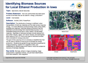
The Integrated Geospatial Education and Technology Training Project (iGETT) presents a series of Learning Units (LU) designed to incorporate federal land remote sensing data into Geographic Information System (GIS) instruction. The Identifying Biomass Sources for...
This iGETT Remote Sensing Education YouTube channel includes videos for teaching and learning remote sensing concepts. These videos were created by participant educators in the iGETT project. Videos include the following: Remote Sensing Made Easy, Introduction to Remote Sensing Concepts for GIS,...
| |
| ← Previous | Next → |
