Browse Resources
Resources | |
|---|---|
Learning Unit Description:
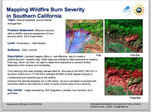
The Integrated Geospatial Education and Technology Training Project (iGETT) presents a series of Learning Units (LU) designed to incorporate federal land remote sensing data into Geographic Information System (GIS) instruction. The Post-Fire Burn Assessment LU, by...
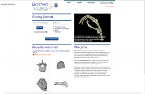
This website from Duke University is a project-based data archive that collects thousands of 3D morphological data and models. The website allows researchers to store and organize, share, and distribute their own 3D data. Registered users can search for and download 3D morphological data sets that...
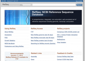
The National Center for Biotechnology Information presents the first full release of all NCBI Reference Sequence (RefSeq) records. RefSeq "aims to provide a comprehensive, integrated, non-redundant set of sequences, including genomic DNA, transcript (RNA), and protein products for major research...
This site provides results of and information about our diversity surveys, which determined demographics of tenured / tenure track faculty at pertinent departments of the "top 50" universities, ranked by NSF (National Science Foundation) according to research expenditures in that discipline. These...
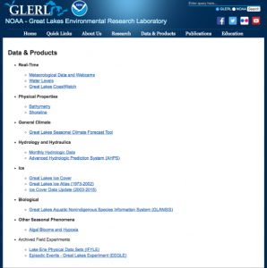
This page, from the National Oceanic and Atmospheric Administration Great Lakes Environmental Research Laboratory, offers collections of data for use by educators, students, researchers, and the general public. There are nine categories of data available: Real-Time Data, Physical Properties Data,...
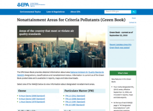
Areas of the country where air pollution levels persistently exceed the national ambient air quality standards may be designated "nonattainment." This site offers information and maps regarding regions of the country which have been designated as nonattainment areas for each of the pollutants:...
Learning Unit Description:
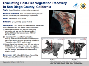
The Integrated Geospatial Education and Technology Training Project (iGETT) presents a series of Learning Units (LU) designed to incorporate federal land remote sensing data into Geographic Information Systems (GIS) instruction. The Evaluating Post-Fire Vegetation...
Learning Unit Description:
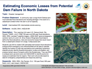
The Integrated Geospatial Education and Technology Training (iGETT) presents a series of Learning Units (LU) designed to incorporate federal land remote sensing data into Geographic Information Systems (GIS) instruction. This lesson uses GIS and remote sensing...
Learning Unit Description:
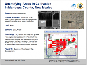
The Integrated Geospatial Education and Technology Training Project (iGETT) presents a series of Learning Units (LU) designed to incorporate federal land remote sensing data into Geographic Information System (GIS) instruction. The Quantifying Areas in Cultivation in...
Learning Unit Description:
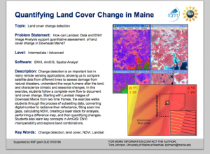
The Integrated Geospatial Education and Technology Training Project (iGETT) presents a series of Learning Units (LU) designed to incorporate federal land remote sensing data into Geographic Information System (GIS) instruction. The Quantifying Land Cover Change in Maine...
| |
| ← Previous | Next → |
