Browse Resources
Instructional Material -- Student Guide
Resources | |
|---|---|
Module Description:
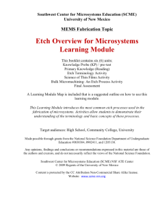
This learning module, from Support Center for Microsystems Education (SCME), "provides an overview of the most common photolithography process used in the fabrication of microelectromechanical systems (MEMS), photolithography terminology and basic concepts." These concepts are...
This reference sheet, presented by the National Nanotechnology Infrastructure Network provides a valuable physical science reference sheet for high school students. Definition of terms, diagrams, abbreviations, mathematical notations, the periodic table, and other useful information is provided in...
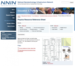
This reference sheet, presented by the National Nanotechnology Infrastructure Network provides a valuable physics reference sheet for high school students. Definition of terms, diagrams, abbreviations, mathematical notations, force diagrams, and other useful information is provided in an easy to use...
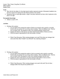
This lesson plan, from the Contextualize to Learn project at the University of Wisconsin-Madison, is an exploration done with base-ten blocks. In this activity, students are paired up and work with base-ten blocks to show that the four digits of a four-digit natural number represents amounts of...
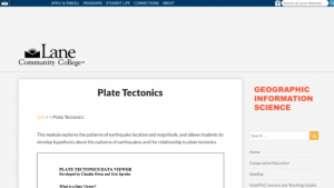
In this activity, presented by the Lane Community College MAPS GIS Program, students will learn the concept of a digital data viewer, and how this resource can help them learn more about plate tectonics. Students will learn terminology associated with both geology and computer aided GIS. The...
Learning Unit Description:
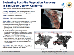
The Integrated Geospatial Education and Technology Training Project (iGETT) presents a series of Learning Units (LU) designed to incorporate federal land remote sensing data into Geographic Information Systems (GIS) instruction. The Evaluating Post-Fire Vegetation...
Learning Unit Description:
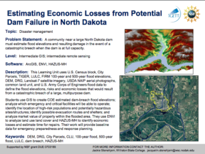
The Integrated Geospatial Education and Technology Training (iGETT) presents a series of Learning Units (LU) designed to incorporate federal land remote sensing data into Geographic Information Systems (GIS) instruction. This lesson uses GIS and remote sensing...
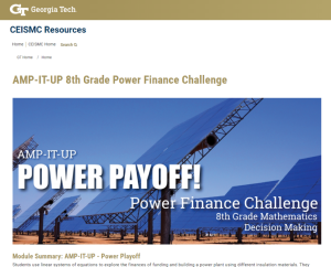
This resource, published by Georgia Tech Research Institute, features a mathematics and finance activity designed for eighth graders. In this activity, "students use linear systems of equations to explore the finances of funding and building a power plant using different insulation materials."...
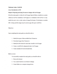
This 18-page Preparing and Using Terraserver Images study guide is provided by AgrowKnowledge and is written for use with ArcVoyager Special Edition. Upon completion of this guide, users will be able to "identify the types of data available from Terraserver, download images from Terraserver,...
Module Description:
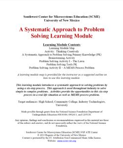
This module, from Support Center for Microsystems Education (SCME), provides an introduction to "a systematic approach to solving problems by using a six-step process." The module contains information on approaches for solving both simple and complex problems. Students are...
| |
| ← Previous | Next → |
