Browse Resources
Resources | |
|---|---|
The Urban and Regional Information Systems Association (URISA) “is a multidisciplinary association where professionals from all parts of the spatial data community can come together and share concerns and ideas.” URISA connects the GIS community through webinars, workshops, publications, a career...
GlobalChange.gov is the webpage for the U.S. Global Change Research Program, a 1989 Presidential Initiative that mandated to "assist the Nation and the world to understand, assess, predict, and respond to human-induced and natural processes of global change.” On the website you will find tabs to...
This page from DeafTEC presents a series of resources and an introductory video discussing how to use cooperative learning groups in a classroom with deaf and hard-of-hearing students. The first resource is a 24 slide presentation on this topic while the following five documents are to be...
This 10-paper discusses using Game Theory tournaments as a base to implement Competition-based Learning (CnBL), together with other learning techniques, to motivate students and increase learning performance. The paper includes the following sections: Introduction, Introduction to game theory,...
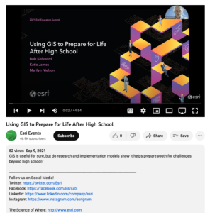
This video, from the 2021 Esri Education Summit, provides three presentations on how GIS prepares youth for challenges beyond high school. In the first presentation, Bob Kolvoord explores the measurement of cognitive and behavioral changes in students from GIS use. Kolvoord describes a...
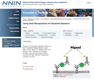
This lab, presented by the National Nanotechnology Infrastructure Network, teaches students about gold nanoparticles (GNPs). Students will "learn the potential disease detection uses of GNPs, conduct research on modifying GNPs to be specific to other molecules, and complete a simulation using GNP...
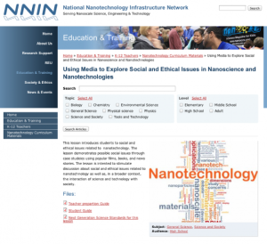
This lesson, presented by the National Nanotechnology Infrastructure Network, introduces the social and ethical issues of nanotechnology. In this activity, students will explore "possible social issues through case studies using popular films, books, and news stories. The lesson is intended to...
This lesson, presented by the National Nanotechnology Infrastructure Network, consists of two activities, 'Fly Poison' and 'Water Maze,' to introduce students to self-assembly in nanotechnology. 'Fly Poison' models how "researchers build very small devices by the self-assembly of molecules" for...
Learning Unit Description:
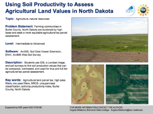
The Integrated Geospatial Education and Technology Training Project (iGETT) presents a series of Learning Units (LU) designed to incorporate federal land remote sensing data into Geographic Information System (GIS) instruction. The Using Soil Productivity to Assess...
This lab activity from the Biotechnology Alliance for Suncoast Biology Educators (BASBE) demonstrates the principles of spectrophotometry. It also allows students to develop a testable hypothesis about the chlorophyll concentration in different olive oil solutions. The lesson includes background...
| |
| ← Previous | Next → |
