Browse Resources
Resources | |
|---|---|
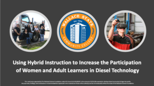
This presentation, published by Wallace State Community College-Hanceville (WSCC), provides an overview of WSCC's project aimed at using hybrid instruction to increase participation of women and adult learners in its diesel technician program. Topics covered include strategies for targeted...
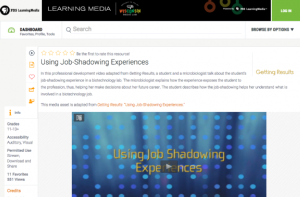
In this professional development video adapted from Getting Results, a student and a microbiologist talk about the student’s job-shadowing experience in a biotechnology lab. The microbiologist explains how the experience exposes the student to the profession, thus, helping her make decisions about...
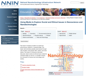
This lesson, presented by the National Nanotechnology Infrastructure Network, introduces the social and ethical issues of nanotechnology. In this activity, students will explore "possible social issues through case studies using popular films, books, and news stories. The lesson is intended to...
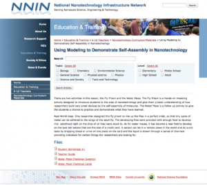
This lesson, presented by the National Nanotechnology Infrastructure Network, consists of two activities, 'Fly Poison' and 'Water Maze,' to introduce students to self-assembly in nanotechnology. 'Fly Poison' models how "researchers build very small devices by the self-assembly of molecules" for...
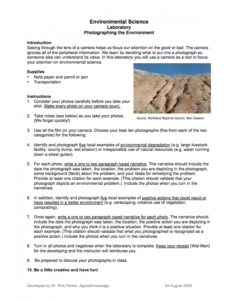
These lab activities were developed by Rick Parker and are provided by AgrowKnowledge and focus on using photography in environmental science classes. The lab activities include Examples of Using Digital Photography in the Classroom and Environmental Science Laboratory: Photographing the...
Learning Unit Description:
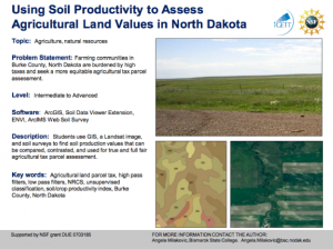
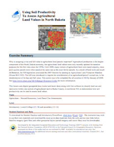
The Integrated Geospatial Education and Technology Training Project (iGETT) presents a series of Learning Units (LU) designed to incorporate federal land remote sensing data into Geographic Information System (GIS) instruction. The Using Soil Productivity to Assess...
This exercise, from the Integrated Geospatial Education and Technology Training Project (iGETT), uses digital geospatial data (vector and raster data) along with Esri software to classify land use and land cover within one section of agricultural land in Burke County, North Dakota to demonstrate how...
This document, provided by Clark State Community college, can be used by agricultural science instructors to learn how to navigate AgLeader SMS Advanced software. Topics covered include: Displaying Spatial Data, Creating Maps, Importing Data Into Software, Importing Field Boundaries, Importing Soil...
This lab activity from the Biotechnology Alliance for Suncoast Biology Educators (BASBE) demonstrates the principles of spectrophotometry. It also allows students to develop a testable hypothesis about the chlorophyll concentration in different olive oil solutions. The lesson includes background...
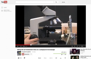
This video from CUNY Kingsborough Community College describes how to use the oil-immersion lens on a compound microscope. The brief clip, available for viewing on YouTube, would be most useful for students with a basic understanding of the parts of a compound microscope and how to use it. Running...
| |
| ← Previous | Next → |
