Browse Resources
Resources | |
|---|---|
Learning Unit Description:
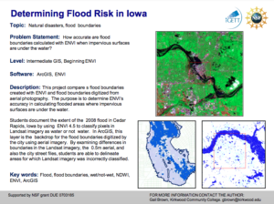
The Integrated Geospatial Education and Technology Training Project (iGETT) presents a series of Learning Units (LU) designed to incorporate federal land remote sensing data into Geographic Information System (GIS) instruction. The Flood Boundary Comparison LU examines...
Lesson Description:
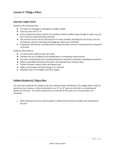
This lesson is the fourth of nine lessons from the Vocational Math: Contextualized for Construction course that was taught at Madison Area Technical College. During this lesson, students work in groups and as a whole class to practice estimating skills to allow them to find...
Description:
This learning module is provided by Work-Ready Electronics and covers the Fourier Theory. Work-Ready Electronics modules are intended to be used either independently or integrated with current electronics curricula in college programs. This module is divided into three sections:...
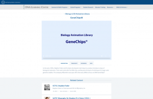
In the early 1990s, Stephen Fodor and his team developed a technique to produce miniature arrays of biological molecules. Their work led to the first DNA chip, and became the basis of techniques for large-scale genomic studies. The company Affymetrix was spun off in the early 1990s to focus on DNA...
In this activity, students will "analyze data detailing global energy sources and sinks (uses) and construct a diagram to show the relative scale and the connections between them. Discussions of scale, historical, socio-environmental and geographic variation in this data and implications for future...
This webpage, from National Cybersecurity Training and Education (NCYTE) Center, includes governance, risk management, and compliance workshops that were "designed for college faculty that teach cybersecurity and information assurance programs who recognize that community college cybersecurity...
Course Description:
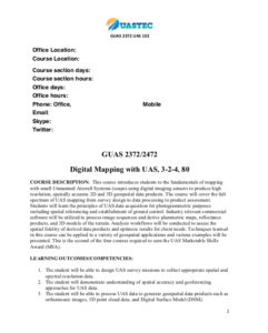
This course, developed by the Unmanned Aircraft Systems Technology Education Consortium (UASTEC) at Del Mar College, covers the fundamentals of digital mapping with Unmanned Aircraft Systems (UAS). "The course cover[s] the full spectrum of UAS mapping from survey design to...
Course Description:
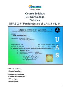
This course, developed by the Unmanned Aircraft Systems Technology Education Consortium (UASTEC) at Del Mar College, covers the fundamentals of Unmanned Aircraft Systems (UAS). "This foundation course will apply fundamental Geographic Information Science (GISC) theories,...
This file contains four brochures that outline Military Occupation Specialties of four military branches (Air force, Navy, Marine, and Army) that articulate to Laser and Fiber Optics academic credits. Each of these brochures contain a list of military occupation specialties that "make for a good fit...
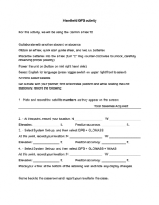
This collection, made available by Clark State Community College, includes instructional material about using the Garmen eTrex GPS receiver. The collection consists of a short hands-on activity, a brief overview of basic operation of the device, and instructions on editing data fields of five ...
| |
| ← Previous | Next → |
