Browse Resources
Resources | |
|---|---|
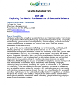
GeoTech Center presents a series of model courses on GIS, spatial technologies, and related subjects. This first course introduces "geospatial analysis and map interpretation," including "geographic information systems (GIS), global positioning systems (GPS), cartography, remote sensing,...
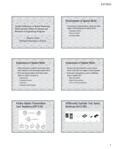
These PowerPoint slides, provided by Michigan Technological University, detail gender differences in spatial skills. At Michigan Technological University, several studies were undertaken to develop a course on spatial skills and track success. It was determined that the course had a significant...
This presentation from Sheryl A. Sorby of Michigan Technological University discusses gender differences in spatial reasoning skills, and the effects of these differences on success and retention in engineering programs. Sorby asks the question: If spatial skills are critical to success in...
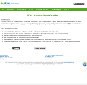
GeoTech Center presents a series of model courses on GIS, spatial technologies, and related subjects. This internship course is a "structured experience in a supervised setting that is related to the student's major and career interests." This course "provides students with an overview of...
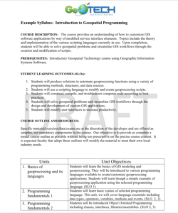
GeoTech Center presents a series of model courses on GIS, spatial technologies, and related subjects. This seventh course introduces "how to customize GIS software applications by way of modified service interface elements" by learning various scripting languages. All users can access the detailed...
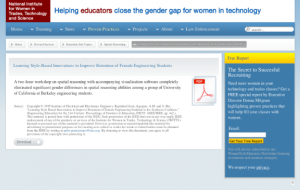
This paper from Alice M. Agogino and Sherry Hsi "describes the use of integrative multimedia courseware designed to scaffold student learning and accommodate learning style differences." The Synthesis Coalition's retention programs are discussed, as well as gender differences in spatial reasoning...
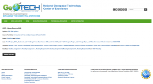
GeoTech Center presents this course on Open Source software for desktop and online GIS applications. The course introduces "the concepts of Open Source software, and the leading desktop and web mapping Open Source software packages." A syllabus includes recommended textbooks, a schedule, and student...
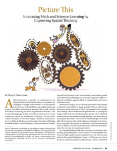
Published in the American Educator, this is a resource paper on the impact of spatial thinking and literacy on American K-12 education. It includes four spatial thinking tests which were used in the project talent study discussed in the article.
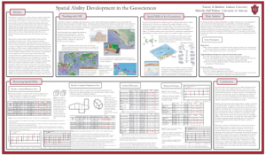
This poster, from Tammy K. Baldwin and Michelle Hall Wallace, introduces an experiment on spatial ability. This experiment aimed "to evaluate change in students' spatial skills as a result of completing an earth science course." The study results show "an improvement in spatial skills for all groups...
Description:
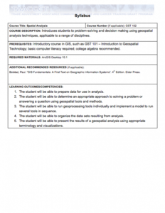
This Spatial Analysis course, from the National Information, Security & Geospatial Technologies Consortium, is part of a series of model courses on GIS, spatial technologies, and related subjects to provide students with the professional skills necessary to succeed in geospatial...
| |
| Next → | |
