Browse Resources
Instructional Material -- Student Guide
Resources | |
|---|---|
Learning Unit Description:
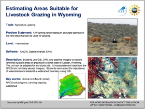
The Integrated Geospatial Education and Technology Training Project (iGETT) presents a series of Learning Units (LU) designed to incorporate federal land remote sensing data into Geographic Information System (GIS) instruction. The Estimating Areas Suitable for...
Module Description:
This module, from Support Center for Microsystems Education (SCME), introduces students to common etch processes used in the fabrication of microsystems. Etch terminology, purpose, and processes are covered in the module. The included activities "allow students to demonstrate...
Learning Unit Description:
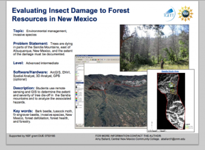
The Integrated Geospatial Education and Technology Training Project (iGETT) presents a series of Learning Units (LU) designed to incorporate federal land remote sensing data into Geographic Information System (GIS) instruction. The Evaluating Insect Damage to Forest...
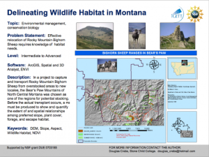
The Integrated Geospatial Education and Technology Training Project (iGETT) presents a series of Learning Units (LU) designed to incorporate federal land remote sensing data into Geographic Information Systems (GIS) instruction. The Evaluating Wildlife Habitat LU, created by Douglas Crebs of Stone...
Learning Unit Description:
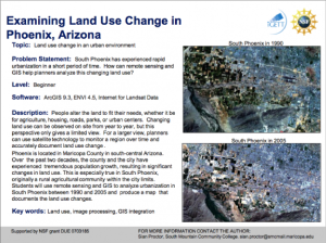
The Integrated Geospatial Education and Technology Training Project (iGETT) presents a series of Learning Units (LU) designed to incorporate federal land remote sensing data into Geographic Information System (GIS) instruction. The Examining Land Use Change in Phoenix,...
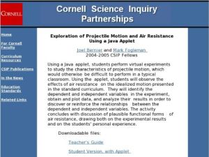
Using a Java applet, this lesson has students perform virtual experiments to study the characteristics of projectile motion (which would otherwise be difficult to perform in a typical classroom). Using the applet, students will observe the effects of air resistance on the idealized motion presented...
This lesson, from the Center for Renewable Energy Advanced Technological Education Resource Center (CREATE), gives students the opportunity to look ahead and consider a future in the energy industry. During the lesson, students investigate a job within the energy industry of their choosing. Students...
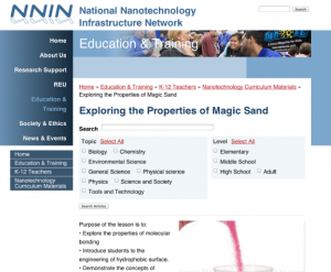
Nanotechnology is an area of science and engineering that occurs at the atomic and molecular level. This is certainly a difficult concept to grasp. This website, presented by The National Infrastructure Network, highlights many critical concepts to understanding this smaller scale. By using a...
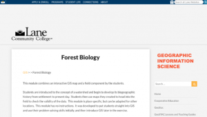
In this activity, developed by the Lane Community College MAPS GIS Program, students are "introduced to the concept of a watershed and begin to develop its biogeographic history from settlement to present day." Students then use maps they created to head into the field to check the validity of the...
In this lesson from MAPS GIS at Lane Community College, students will describe the geodemographics of former French colonies in Africa as defined by the human development index, population densities, birth and death rates, life expectancy. Students will compare the geospatial patterns of data with...
| |
| ← Previous | Next → |
