Browse Resources
Higher Education -- Undergraduate (Upper Division)
Resources | |
|---|---|
The UVM Environmental Safety site presents news, information, and services to support health and safety of laboratory personnel. While some of the site is geared toward UVM researchers, there is plenty of free information about chemical safety, biosafety, and waste disposal useful to students,...
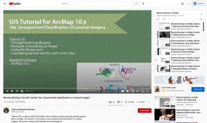
This tutorial, provided by Virginia Geospatial Extension, is part of a series of 30 videos that cover remotely sensed data in ArcMap 10.x versions. This tutorial is divided into two videos (18A and 18B) and covers "unsupervised classification of Landsat Imagery." During the tutorial, unsupervised...
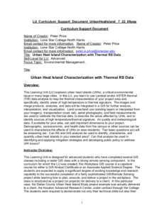
Learning Unit Description:
Integrated Geospatial Education and Technology Training (iGETT) presents a series of Learning Units (LU) designed to incorporate federal land remote sensing data into Geographic Information Systems (GIS) instruction. This LU "... explores urban heat islands (UHIs), a...
This page is a course overview for Massachusetts Institute of Technology’s (MIT) course 11.943J/ESD.935, Urban Transportation, Land Use, and the Environment. The webpage contains materials from a seminar studying the interactions of urban systems and the environment. Along with general topics, the...
The Urban and Regional Information Systems Association (URISA) “is a multidisciplinary association where professionals from all parts of the spatial data community can come together and share concerns and ideas.” URISA connects the GIS community through webinars, workshops, publications, a career...
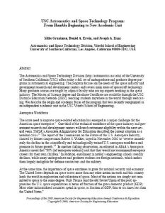
This paper, from Mike Gruntman, Daniel A. Erwin, and Joseph A. Kune, of the Viterbi School of Engineering at the University of Southern California covers the school's The Astronautics and Space Technology Division, which offers today a full set of undergraduate and graduate degree programs in...
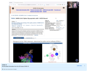
This video, provided by Digital World Biology, is from a series of tutorial videos for iCn3D, a web-based three-dimensional visualization and structural analysis platform for molecular structures. During the video, presenter Sandra Porter discusses using iCn3D to view structures that were aligned...
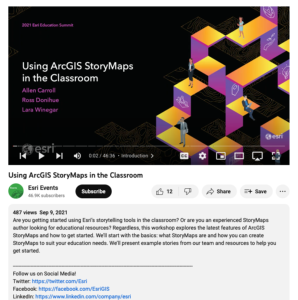
This video, from the 2021 Esri Education Summit, discusses using ArcGIS StoryMaps in the classroom. During this video, "... the latest features of ArcGIS StoryMaps and how to get started" are explored. The basics are covered, including what StoryMaps are and how a user can create StoryMaps that suit...
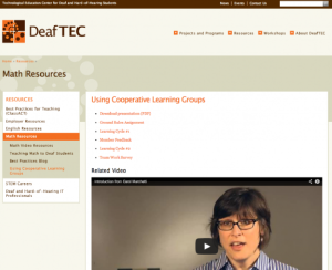
This page from DeafTEC presents a series of resources and an introductory video discussing how to use cooperative learning groups in a classroom with deaf and hard-of-hearing students. The first resource is a 24 slide presentation on this topic while the following five documents are to be...
This webpage is an excerpt from the book, The Chicago Handbook for Teachers: A Practical Guide to the College Classroom. Chapter ten of the book, in it is entirety, is provided on this webpage and is entitled, "Using Electronic Resources for Teaching." The chapter is divided into the following...
| |
| ← Previous | Next → |

