Browse Resources
Resources | |
|---|---|
Description:
Tacoma Community College offers a Logistics course program, funded in part by the National Science Foundation, to provide students with the professional skills necessary to succeed in warehouse, inventory, and supply chain management.
In Logistics 115, Logistics Security and Risk...
Corresponding to the PBS NOVA television program, this site covers the story of how humans developed a method for finding our way around the globe. It discusses today's greatest scientific challenges, explores GPS and how it works, and describes how ancient navigators found their way without...
This lesson, from the Northern Wyoming Community College District, focuses on the transformation of energy from one form to another through electrical current detection and generation. Students create a model electricity generator and compare it to a real-world "state of the art" coal power plant...
This module is provided by GeoTech Center, and introduces concepts that are related to map projections. Module contents include a video recording, a PowerPoint presentation, and a quiz that reviews the content presented in the module.
The Concept Module is a recorded PowerPoint presentation...
Learning Unit Description:
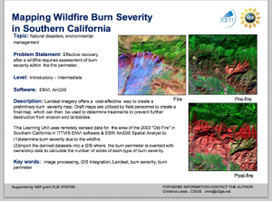
The Integrated Geospatial Education and Technology Training Project (iGETT) presents a series of Learning Units (LU) designed to incorporate federal land remote sensing data into Geographic Information System (GIS) instruction. The Post-Fire Burn Assessment LU, by...
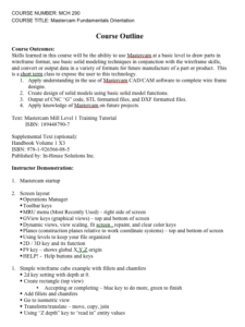
These zipped documents from MatEd provide information on designing a course titled Mastercam Fundamentals Orientation. At the end of the course, students will be able to apply understanding in the use of Mastercam CAD/CAM software to complete wire frame designs, create design of solid models using...
This module is provided by GeoTech Center and introduces mathematical concepts that are related to geospatial technologies. Module contents include two video recordings and a document providing an overview of the module.
The Concept Module Part 1 is a recorded PowerPoint presentation provided by...
This collection, provided by the National Center for Optics and Photonics Education (OP-TEC), includes an 137-page mathematics student review guide and related videos. This student guide is intended to help students studying photonics gain adequate math skills. The following topics are covered:...
In this activity, students examine the relationship between soil microbes and carbon cycling through self-designed experiments exploring “microbial respiration rates and soil variables such as temperature, habitat, soil type, and agricultural management choices.” Three different techniques for...
This collection from the Center for Renewable Energy Advanced Technological Education Resource Center (CREATE) is composed of teaching materials that highlight a lesson on measuring "the sun’s irradiance (radiant power received by a surface per unit of area) with an instrument used in the solar...
| |
| ← Previous | Next → |
