Browse Resources
Instructional Material -- Student Guide
Resources | |
|---|---|
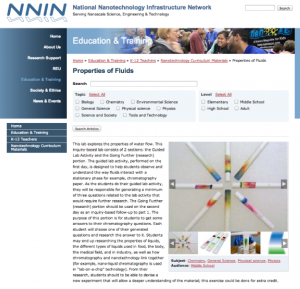
This lesson, presented by the National Nanotechnology Infrastructure Network, covers the properties of water flow. Students will "observe and understand the way fluids interact with a stationary phase for example, chromatography paper." Next, students will create a list of questions they have about...
Learning Unit Description:
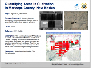
The Integrated Geospatial Education and Technology Training Project (iGETT) presents a series of Learning Units (LU) designed to incorporate federal land remote sensing data into Geographic Information System (GIS) instruction. The Quantifying Areas in Cultivation in...
Learning Unit Description:
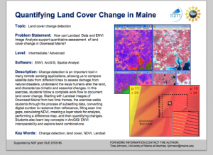
The Integrated Geospatial Education and Technology Training Project (iGETT) presents a series of Learning Units (LU) designed to incorporate federal land remote sensing data into Geographic Information System (GIS) instruction. The Quantifying Land Cover Change in Maine...
This lab, presented by the National Nanotechnology Infrastructure Network, covers the concept of behavior of particles on the nanoscale. Students will learn about exploring the absorption and reflection of light "based on energy levels that are determined by size and bonding arrangements of the...
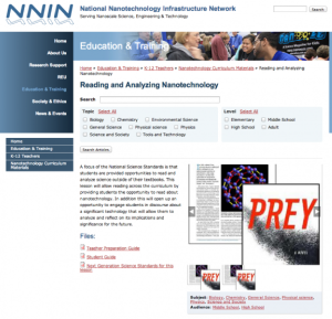
This lesson, presented by the National Nanotechnology Infrastructure Network, covers nanotechnology in literature and culture. The purpose of the lesson is for students to "read and analyze science outside of their textbooks." At the end of the lesson, students discuss nanotechnology's implications...
Module Description:
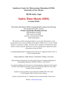
This module, from Support Center for Microsystems Education (SCME), provides content and activities that allow the participants to locate safety data sheets, extract information, and compare the potential hazards of two or more chemicals. "MEMS (microelectromechanical systems)...
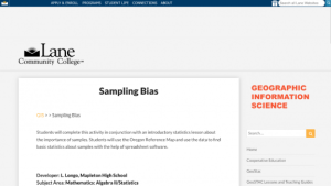
This activity from Lane Community College's MAPS GIS program, provides students with the opportunity to use a GIS map in conjunction with a statistics lesson and "use the data to find basic statistics about samples with the help of spreadsheet software." In this lesson, students will learn the...
Description:
This collection, made available by Maricopa County Community College District, provides instructional information on sanitation in the United States. The information in this collection will enable students to: Identify importance of sanitation as part of supply chain system, understand...
Published by the National Nanotechnology Infrastructure Network, this hour-long activity has students "simulate the function of a scanning probe microscope" by creating their own scanning probe microscope (SPM) boxes. The Teacher's Guide contains everything the instructor needs to carry out the...
This lab, presented by the National Nanotechnology Infrastructure Network, teaches students about Scanning Electron Microscopy (SEM). Nanoparticles are too small to be viewed with a light microscope so a SEM must be employed which "uses electrons to image the surface of a material." A Teacher's...
| |
| ← Previous | Next → |
